

A car covered in snow | Source: Getty Images
Ice Storm Warning Extended to 4 States amid Hazardous Weather – Forecast Through Friday
Four states brace for snow and icy conditions this week as warnings remain in effect. Here's what officials urge residents to do before the storm intensifies.
Advertisement
The National Weather Service (NWS) has issued an Ice Storm Warning for four states, cautioning about dangerous travel conditions and potential power outages through Friday.

Thick ice covers trees and street signs | Source: Getty Images
Here's a look at the four states under Ice Storm Warnings from the NWS—and what residents can do to stay safe.

A man navigates through broken ice | Source: Getty Images
Advertisement
In Virginia, the warning covers Western Highland, Eastern Highland, Northern Virginia Blue Ridge, and Central Virginia Blue Ridge. Over in West Virginia, the affected areas include Western Grant, Western Pendleton, and Eastern Pendleton, along with Eastern Tucker County, which covers Davis, Thomas, and Canaan Valley.
Further south, Northwest and Southeast Pocahontas Counties and Southeast Randolph County—which includes Snowshoe, Harman, and Marlinton—are also impacted. The warning for both states remains in effect until 4 a.m. Eastern Standard Time (EST) on Thursday, February 13, 2025.

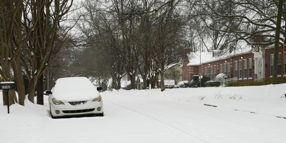
A snow-covered car by the roadside | Source: Getty Images
Advertisement
Meanwhile, in Ohio, the warning applies to Lucas, Ottawa, and Wood Counties. It also covers the cities of Genoa, Toledo, Port Clinton, Perrysburg, Oak Harbor, and Bowling Green. It also extends to Hancock, Sandusky, and Seneca Counties, including Fostoria, Findlay, Clyde, Tiffin, Fremont, and Bellevue.
The warning remains in effect until 7 a.m. EST on Thursday. The heaviest precipitation is expected between 9 p.m. and 2 a.m. Wednesday night, increasing the risk of icy roads and unsafe travel conditions.

Pedestrians brave snow and wind on the street | Source: Getty Images
Advertisement
In Oregon, the warning impacts parts of the Willamette Valley and the Central Oregon Coast Range. Affected areas include the Central and Southern Willamette Valley, Benton, Linn, and Lane County Lowlands, as well as the Central Oregon Coast Range Lowlands.

A mailbox coated in ice with icy cars in the background | Source: Getty Images
Cities within the warning area include Horton, Wilsonville, Eugene, Woodburn, Salem, Creswell, Philomath, Albany, Junction City, Keizer, Cottage Grove, Monmouth, Silverton, Springfield, Alsea, Grand Ronde, Monroe, Stayton, Dallas, Sheridan, Molalla, Mary’s Peak, Valsetz, Hoskins, McMinnville, Brownsville, Harrisburg, Alma, Newberg, Lebanon, Corvallis, and Mapleton.
Advertisement
The warning for Oregon was reportedly in effect from 10 p.m. Wednesday, February 12, to 4 a.m. Pacific Standard Time (PST) Friday, February 14.

Tri-Met workers clear ice and snow near the Rose Garden in Portland, Oregon | Source: Getty Images
According to the NWS, people in the affected areas should prepare for significant icing, with snow and sleet up to one inch and ice buildup reaching two-tenths of an inch. Bridges, overpasses, and untreated roads will be extremely slippery, creating hazardous travel conditions, especially during the Thursday morning commute.

A woman and child carefully walk on an icy road | Source: Getty Images
Advertisement
Officials urge limiting travel, as accumulating ice may bring down trees and power lines, causing outages and road blockages. "If you must travel, keep an extra flashlight, food, and water in your vehicle in case of an emergency," the NWS said.
Strong wind gusts could make conditions even worse by snapping ice-covered branches. The Ice Storm Warning remains in effect, and authorities advise staying informed through official weather alerts and emergency updates.

Cross-country skiers glide through the snow | Source: Getty Images
Among the four affected states, West Virginia had been placed by NWS under a Winter Storm Warning and an Ice Storm Warning.
Advertisement
As reported on February 12, the Northwest Pocahontas, Southeast Pocahontas, and Southeast Randolph Counties in West Virginia were affected.
At the time, the Winter Storm Warning was in effect until 11 a.m. on February 12. It was then replaced by an Ice Storm Warning, set to last until 4 a.m. on February 13.
Advertisement
Forecasters predicted significant ice accumulation, with additional ice buildup reaching up to one-tenth of an inch. By the end of the storm, total ice accumulation was expected to reach approximately four-tenths of an inch.
Advertisement
Wind gusts reached speeds of up to 35 miles per hour. Ice accumulation on power lines and trees led to widespread and long-lasting power outages. Additionally, travel became extremely hazardous, with roads, bridges, and overpasses turning slick and difficult to navigate.
The storm severely impacted both the morning and evening commutes on Wednesday, making travel nearly impossible in some areas.

A car making its way through snowy streets in Washington, D.C. on January 6, 2025. | Source: Getty Images
The NWS strongly urged West Virginia residents to avoid travel as icy conditions worsened across the affected areas. However, for those who had to travel, officials recommended carrying an extra flashlight, food, and water in case of an emergency. With widespread power outages being possible, early preparation was essential.
Advertisement
At that point, those needing road condition updates could call 511 or access their state's online traffic and roadway portal. The NWS also provided updates on weather.gov/rlx and official social media pages. Residents were advised to stay informed and take precautions for their safety during the storm.
Advertisement
Although the NWS had issued precautionary measures for travelers, the Virginia State Police (VSP) urged drivers to stay off the roads as winter weather continued to create risky travel conditions across the region.
Advertisement
The authorities made their plea after responding to 849 crashes statewide by 7 a.m., with 87 reported injuries.


In the Appomattox Division, which includes Staunton, Charlottesville, Lynchburg, and South Boston, officers reported 108 crashes with seven injuries. Meanwhile, in the Wytheville Division, which covers Southwestern Virginia, there were 111 crashes and nine reported injuries.
Advertisement
For those who had to travel, police advised drivers to use headlights for better visibility, reduce speed to allow for safer reaction times, increase following distance, and avoid tailgating to prevent rear-end collisions.

Civilians walking in the snow. | Source: Getty Images
Additionally, officials stressed the importance of wearing seat belts, as many winter-related crashes resulted in vehicles sliding off roads or into guardrails. According to news outlet WDBJ 7, "Wearing your seat belt protects you from being thrown around the inside of your vehicle and suffering serious injury in a crash."
Advertisement
Drivers were also encouraged to check their vehicles before heading out, ensuring windshield wipers, tire tread, battery life, and fluid levels were in good condition. Police recommended filling up the gas tank in advance and carrying essential supplies such as a window scraper, blanket, bottled water, snacks, a cell phone charger, and a flashlight in case of an emergency.
Even though the police provided helpful tips to safeguard civilians impacted by the harsh weather, authorities urged people to exercise extreme caution and warned that conditions could worsen as the storm progressed.
Advertisement
Advertisement