
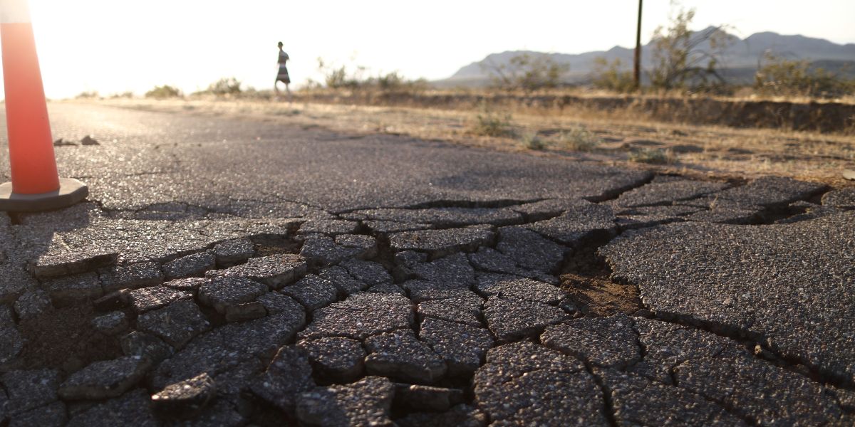
A damaged road | Source: Getty Images
Four Earthquakes Hit the Same Area in California — Details from USGS
A series of earthquakes struck the same area in California in one day, with geological authorities providing details on the tremors.
Advertisement
Four earthquakes struck near Hayward, California, on Thursday, February 13, 2025, according to the U.S. Geological Survey (USGS). The quakes, ranging from magnitude 2.7 to 3.6, occurred within a small area 2 kilometers east of Hayward at depths between 3.3 and 3.9 miles.
Advertisement
The first earthquake of the day, a magnitude 2.7, occurred at 13:03 UTC (5:03 a.m. PST). Two more quakes, a 3.3 magnitude at 19:52 UTC (11:52 a.m. PST) and a 3.2 magnitude at 19:54 UTC (11:54 a.m. PST), struck just two minutes apart.
Meanwhile, the USGS reported that the strongest quake, a magnitude 3.6, was recorded at 21:59 UTC (1:59 p.m. PST) at a depth of 3.6 miles.
Advertisement
All four quakes were centered close to each other, with coordinates ranging from 37.645°N to 37.648°N latitude and 122.052°W to 122.059°W longitude.
While the earthquakes appear minor, their location is a stark reminder of the region's seismic vulnerability.
Advertisement
According to the USGS, Hayward sits on the Hayward Fault, a right-lateral, strike-slip fault that runs from San Pablo Bay to Fremont, passing through Berkeley and Oakland.
It moves gradually, creeping at about 5 millimeters (1/5 inch) per year, but some of this movement is uneven. Roughly 4 millimeters (1/6 inch) per year gets stuck, building up stress that eventually releases in earthquakes.
Advertisement
Studies estimate the fault's total movement at 9 millimeters (1/3 inch) per year, combining steady creep with sudden shifts. South of Fremont, it branches into a network of surface faults that connects to the Calaveras Fault. At depths greater than 5 kilometers (3 miles), scientists believe the two faults may merge, potentially influencing seismic activity.
Advertisement
Experts at the University of California, Berkeley Seismology Lab report that the last major earthquake on this fault occurred on October 21, 1868, at 15:53 UTC (7:53 a.m. local time). Known as the 1868 San Francisco earthquake, it struck the Bay Area with an estimated magnitude of 7.0.
The quake ruptured the southern segment of the Hayward Fault, from Berkeley to Fremont, shifting the ground 1.9 meters (6.2 feet) sideways.
Advertisement
The earthquake reportedly caused significant damage. At least five people were killed, and 30 others were injured. Property losses exceeded $300,000, which was a massive sum at the time.
Seismologists have long studied the recurring pattern of earthquakes along the Hayward Fault. USGS stated major quakes on this fault tend to occur every 140 to 170 years. With more than 150 years having passed since the last major rupture, experts warn that the fault is overdue for another powerful earthquake.
Advertisement
The 2003 Working Group for California Earthquake Probability reportedly estimated a 27% probability of a magnitude 6.7 or larger earthquake striking the Hayward-Rodgers Creek Fault system within 30 years. Given this risk, the USGS and other geological agencies continue to monitor seismic activity in the region.
Following the series of earthquakes in Hayward, a powerful tremor struck near Ferndale, a small town in Humboldt County about 260 miles north of San Francisco, California, in December 2024.

A fan comments on the earthquake whose epicenter was Ferndale in California, from a post dated December 5, 2024 | Source: TikTok/@dailymail
Advertisement
The earthquake, a powerful 7.0 magnitude, hit off the northern California coast. Local authorities confirmed no fatalities or major widespread damage from the quake, which struck offshore Humboldt County on December 5, 2024.
Advertisement
Several stores experienced items falling from shelves, and many residents briefly lost power. In Humboldt County, over 1,000 people were left without electricity after the earthquake struck, as reported on the county's official website. At the time, there were no road closures, and damage assessments were still underway throughout the county.
The earthquake was truly a nerve-wracking situation for many who spoke out on social media. One local resident described it as an overwhelming experience, "It rocked our whole county!! It was crazy!"
Advertisement
Someone who witnessed the damage caused, recalled, "I went to Hobbie's market and I saw everything on the floor. It was a horrifying experience and 2 of my friends were inside a classroom while the rest were outside."
Advertisement
A shopper at Walmart shared a similar experience, "I was in the Walmart, it was so scary the shelves were all rocking pretty bad.[sic]" One person declared, "This was so WILD!"
Another individual reflected on the bigger picture, "This was one of the biggest earthquakes in California and though it did not cause much damage, one thing that people are ignoring is that such a huge earthquake can activate the dormant fault lines. So in the vicinity, a bigger earthquake is always a possibility."


Advertisement
A thankful individual gasped, "That moment was terrifying! Glad everyone made it through safely! 😨," while someone else admitted, "I was scared to death it was BAD WORST ONE IVE EVER FELT.[sic]"
Even those a distance from the epicenter felt the quake as one user noted, "I was one hour away from earthquake. My apartment shook so much I could barely walk to the door frame lol.[sic]"
Advertisement
A local resident also narrated their experience, "It was scary in Humboldt County! It lasted a while and went through every interation [sic] of an earthquake: jolts, rolling, shaking, rocking. Yikes!" The intensity of the tremor was unforgettable for them.
Advertisement
Following the earthquake, the National Tsunami Warning Center in Palmer, Alaska, issued a tsunami warning for much of the northwestern California coast. However, once it was determined that no significant waves were expected, the warning was lifted. At that time, there was no tsunami threat to Humboldt County.
Advertisement
Advertisement