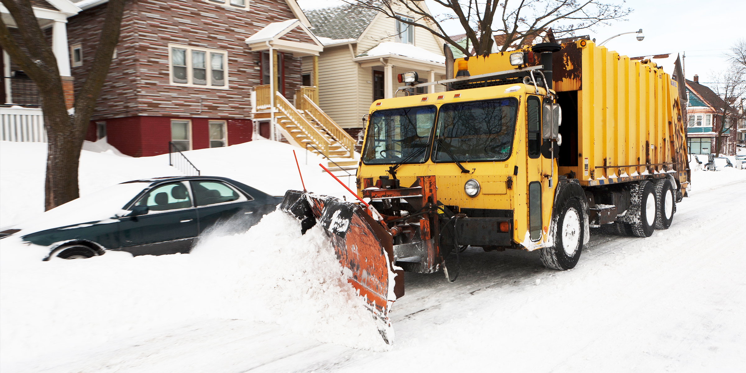
Winter Storm Warnings in Effect in 13 US States – Details
The National Weather Service has issued a warning about a potentially life-threatening winter storm. Find out which states are expected to feel the brunt of this dangerous weather.
Forecasters warn of a powerful winter storm bringing heavy snow, strong winds, and potential power outages. Residents should prepare for hazardous travel and reduced visibility.
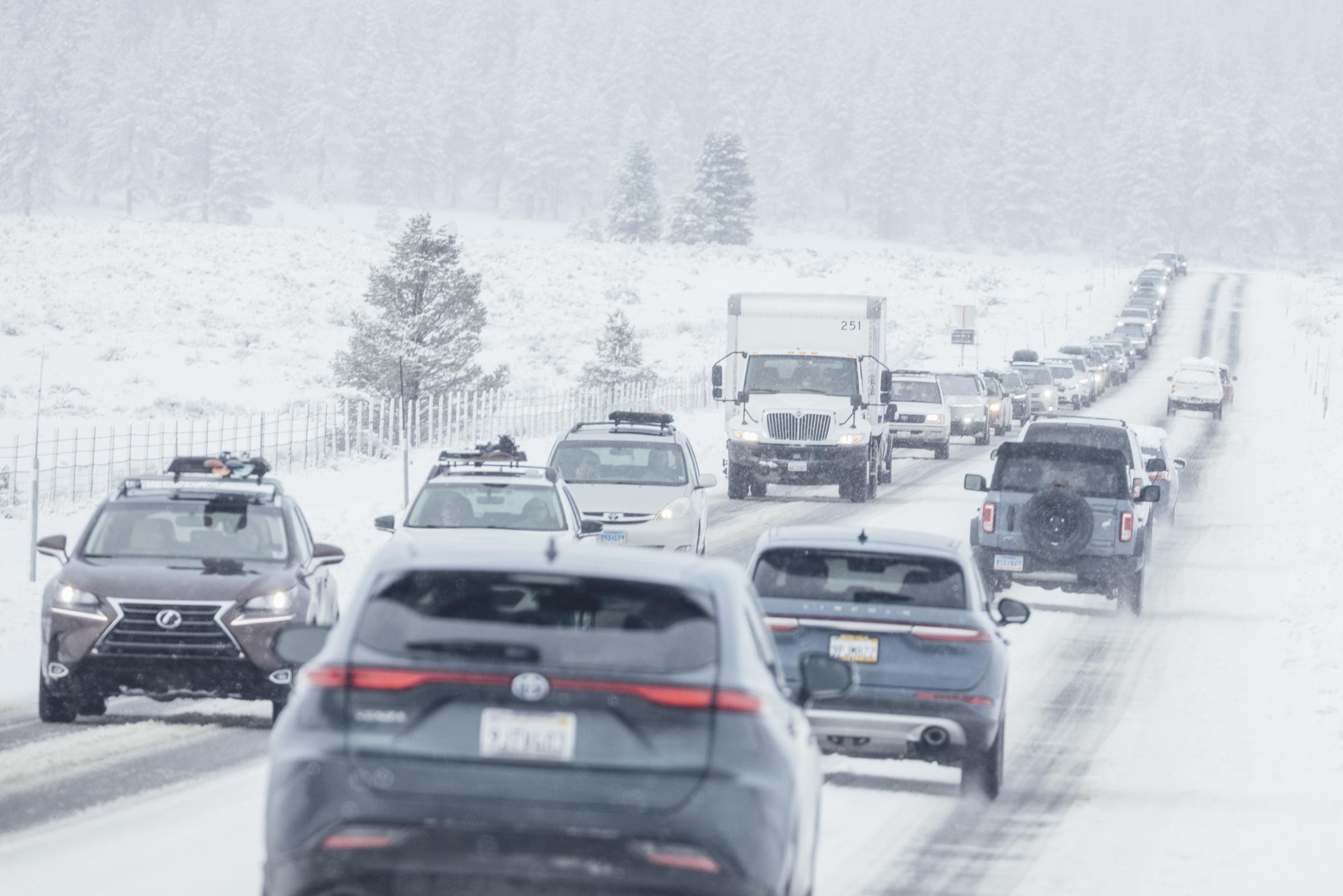
Motorists travel along a snow covered State Route 267 on February 14, 2025, in Truckee, California. | Source: Getty Images
The winter storm warning comes with specific details residents need to know. The alert was issued at 1:22 a.m. EST on February 16, 2025, and will remain in effect from 1 p.m. on Sunday until 10 a.m. on February 17.
The storm is expected to impact several areas, including Northwest Pocahontas County, Southeast Randolph County, and Southeast Webster County. Forecasters predict snowfall accumulations ranging from 1 to 11 inches, with conditions likely to worsen as the storm progresses.
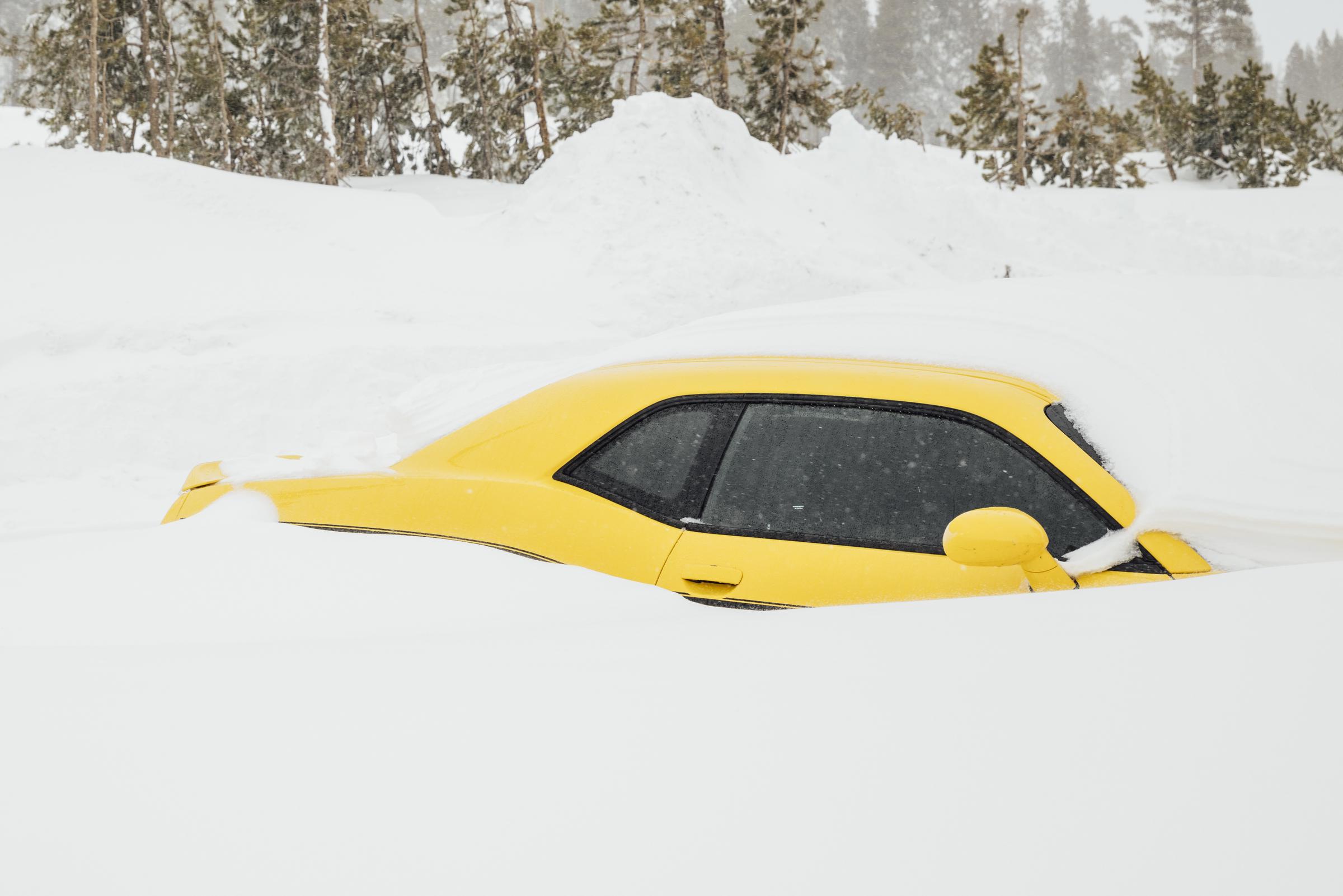
A Dodge Challenger pictured buried in snow on February 14, 2025, in Soda Springs, California. | Source: Getty Images
Several other states have also been placed under winter storm warnings. These include Colorado, West Virginia, Washington, Idaho, Oregon, Wyoming, Maine, Montana, New Hampshire, New York, Vermont, Massachusetts, and Michigan.
Specific areas within each state are expected to experience varying degrees of snowfall, accompanied by strong winds and dangerous travel conditions.
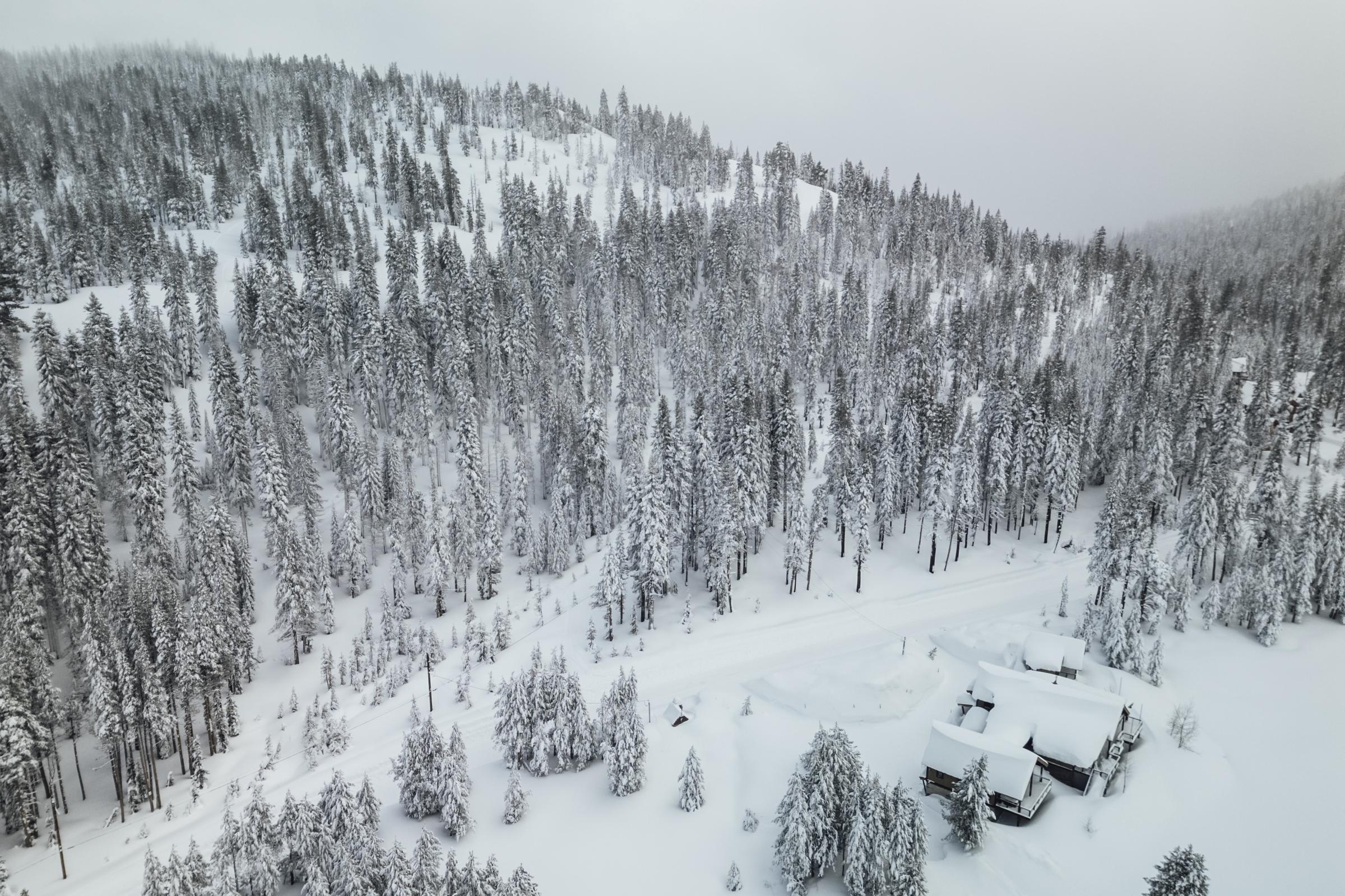
A hillside covered with snow amidst a winter snow storm in on February 14, 2025, in Soda Springs, California. | Source: Getty Images
This broad weather alert indicates the potential danger the incoming storm poses, as winter storm warnings are only issued when hazardous conditions are imminent or already occurring.
Such warnings are issued when five inches of snow or sleet falls within 12 hours or seven inches within 24 hours. Ice buildup that could damage trees or power lines, or a hazardous mix of snow, ice, and strong winds, can also trigger an alert.
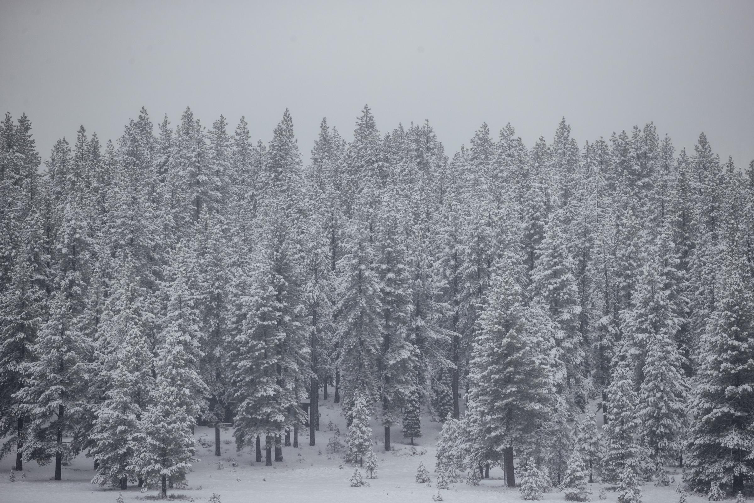
A layer of snow seen on a tree line after an overnight winter storm on February 14, 2025, in Truckee, California. | Source: Getty Images
In Allegany, Mineral, Grant, Pendleton, and Highland counties, snowfall criteria are higher, with six inches required in 12 hours or eight inches within 24 hours.
These warnings come as the coldest blast of Arctic air this season moves in, delivering another round of extreme winter conditions across the country.
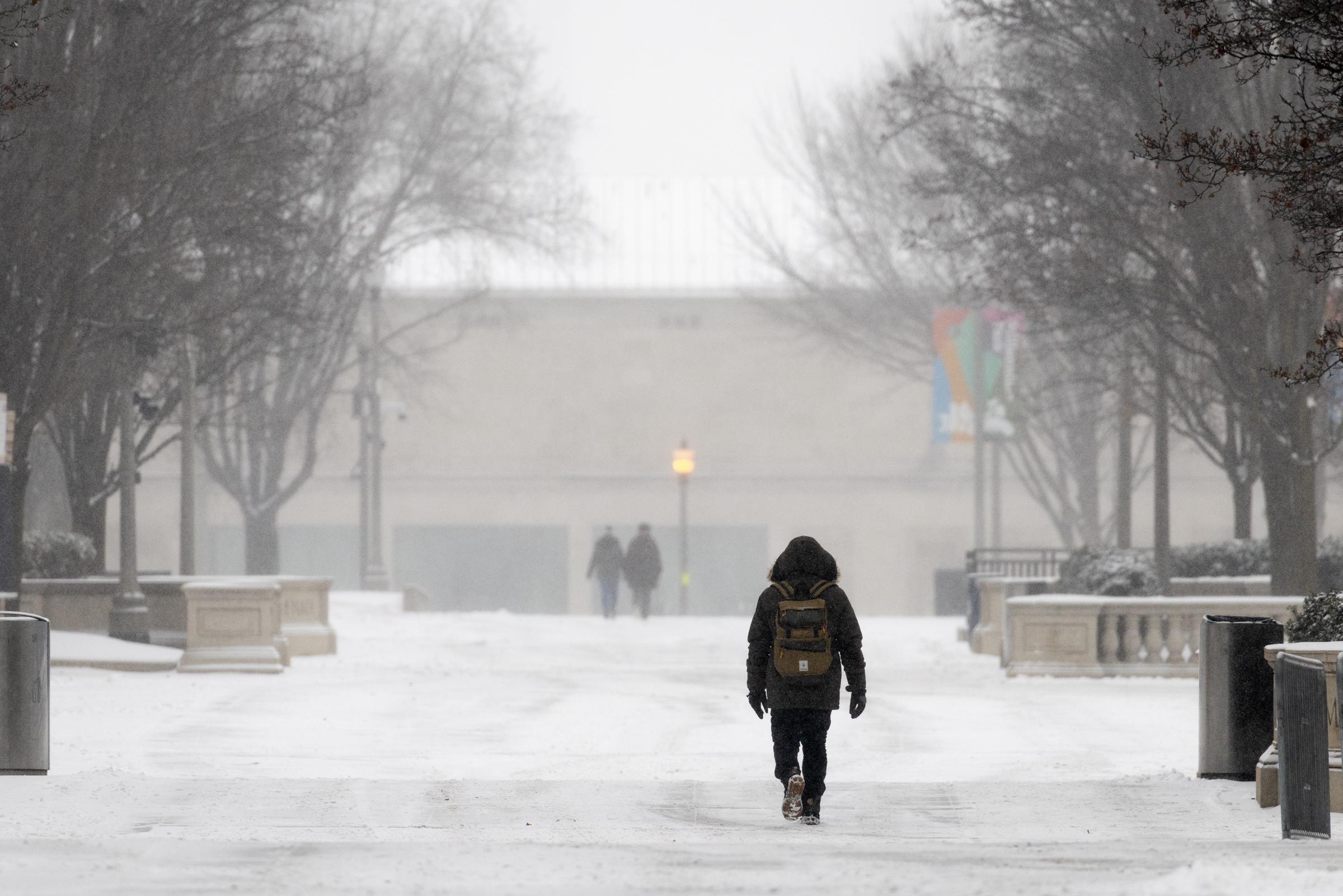
People walk along a snow-covered walkway on February 12, 2025, in Chicago, Illinois. | Source: Getty Images
Meteorologists say a shift in Arctic weather patterns is pushing icy air, typically confined to the North Pole, into the United States and parts of Europe.
According to Judah Cohen, seasonal forecast director at Atmospheric and Environmental Research, this marks the tenth polar vortex event of the season — a phenomenon usually occurring only two or three times in a typical winter.
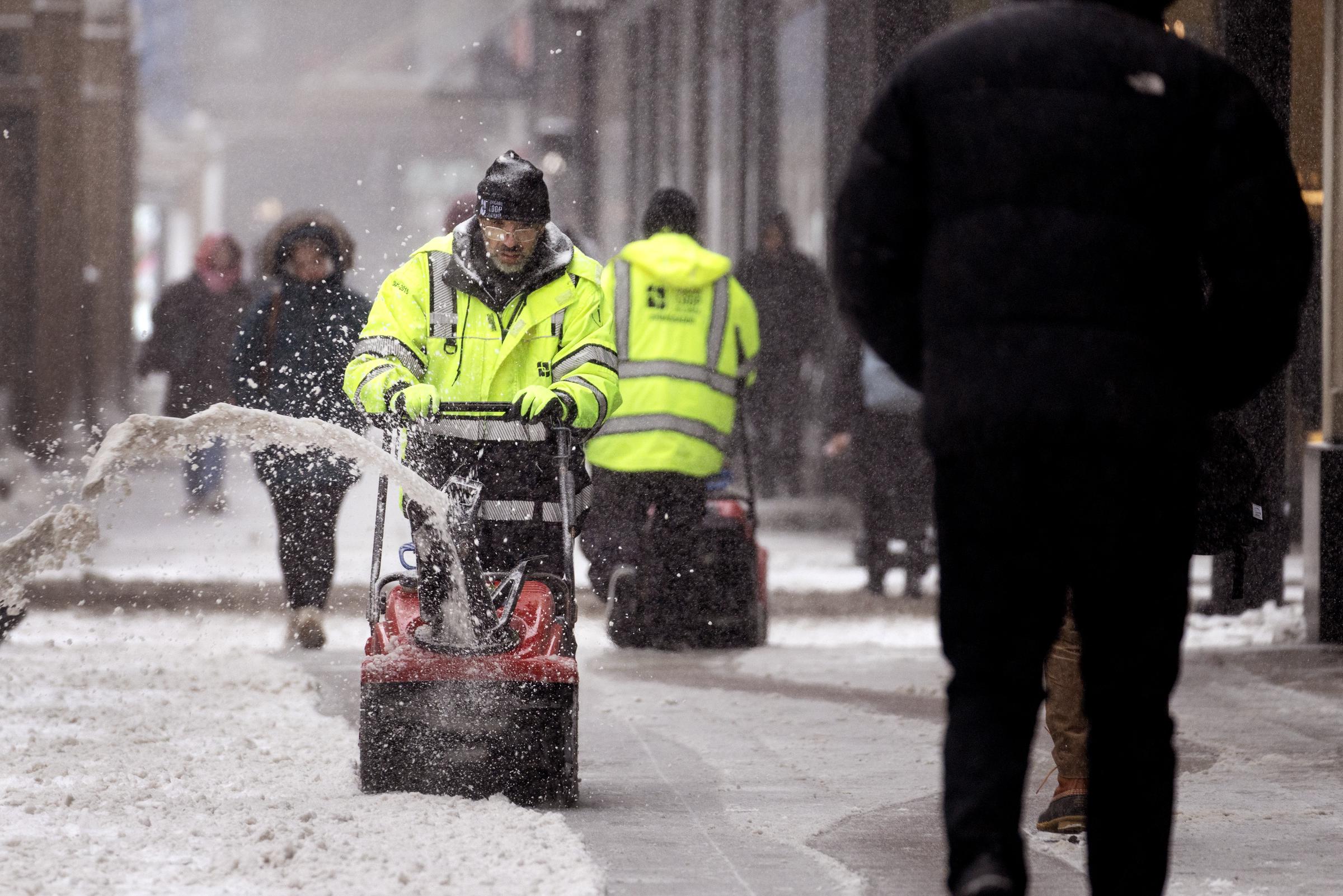
A worker clears snow from a sidewalk in the Loop on February 12, 2025, in Chicago, Illinois. | Source: Getty Images
This latest surge of Arctic air is shaping up to be the most intense of the season as weather patterns continue to funnel frigid air far beyond its usual boundaries.
"Everything, all the stars align, all the wind directions in the atmosphere are dragging the cold polar air out of the Canadian Arctic," said private meteorologist Ryan Maue.
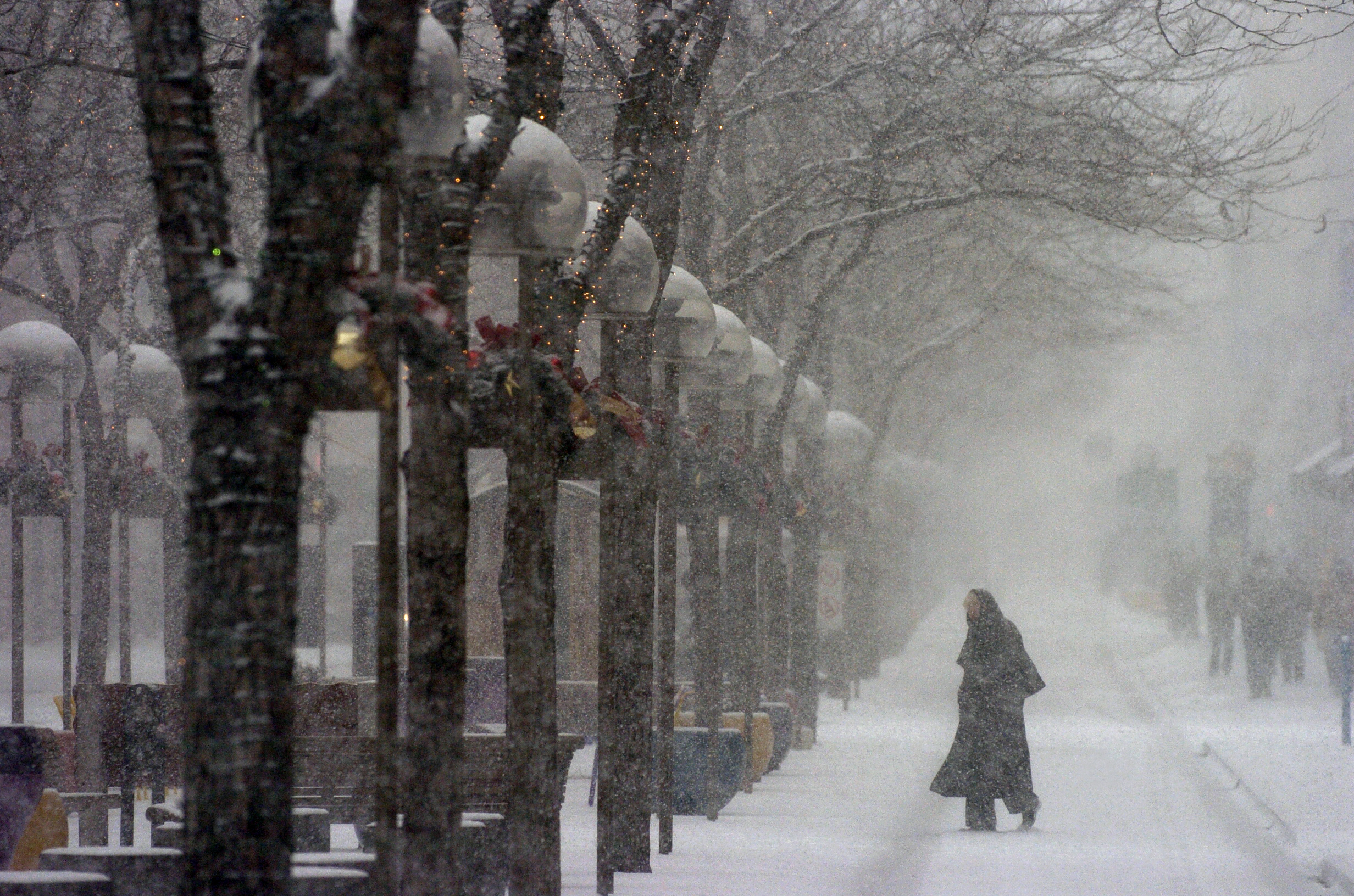
A pedestrian photographed along the 16th Street Mall during snow storm in downtown on December 6, 2005, in Denver, Colorado. | Source: Getty Images
Maue described the current conditions as the depths of winter, with every indicator pointing to extreme, biting cold. While this is not the season's first polar vortex event, it appears to be the most severe.
This unusual frequency of polar vortex events has caught the attention of meteorologists eager to understand why it's happening so often this year.
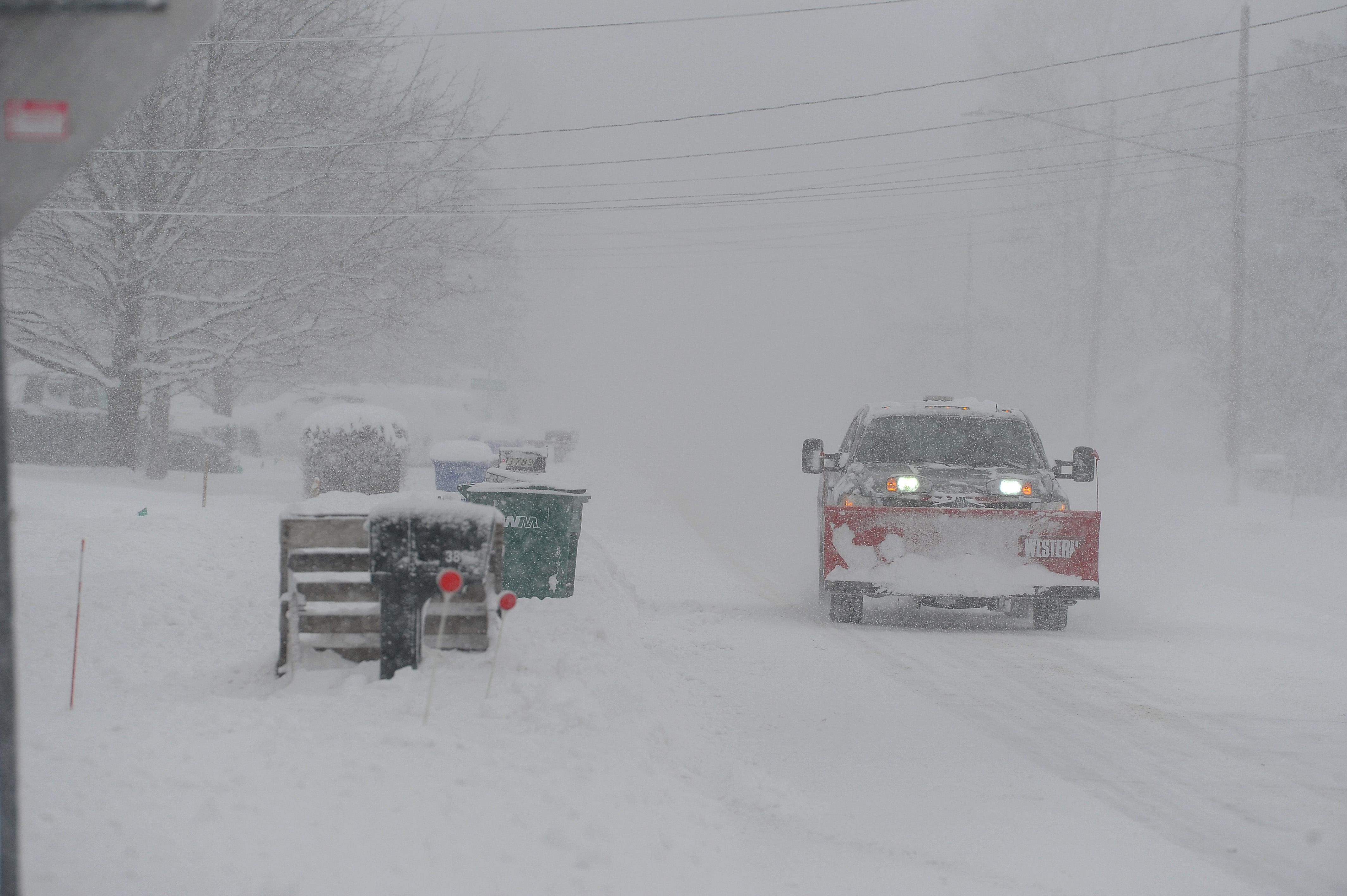
A plow makes their way along Sowles Road on January 21, 2025, in Hamburg, New York. | Source: Getty Images
While natural variability could be a factor, Laura Ciasto from NOAA's Climate Prediction Center noted it may be random. Meanwhile, Martin Stendel of Denmark's National Center for Climate Research described the situation as "interesting, but not unprecedented."
Cohen explained that a large high-pressure system over Greenland is pushing the jet stream into a pattern that forces polar air to plunge south and linger.
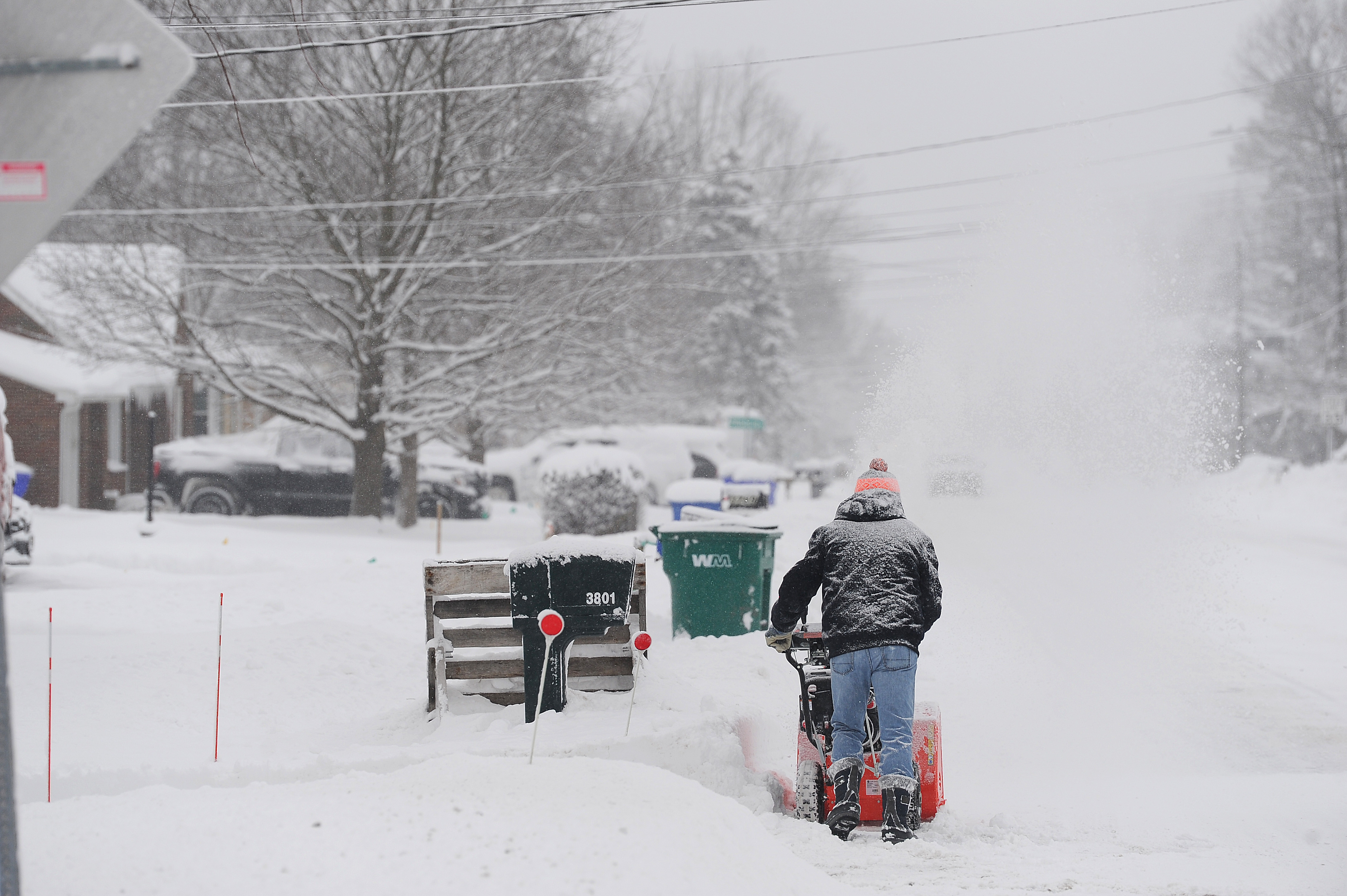
A resident clears lake effect snow outside of his home on January 21, 2025, in Hamburg, New York.
As this powerful winter storm moves across multiple states, officials urge residents to stay alert and take precautions to remain safe. With Arctic air plunging south and hazardous conditions expected, preparation and caution will be essential in the days ahead.
